3D Scanning & Visual Records for Construction, Architecture & Engineering.
Explore a Schedule of Condition carried out for a construction firm below, and find out more about how 3D scans are a practical solution for your production workflow.
One of the challenges today faced in the Construction industry is keeping ahead of the ever evolving technology curve, using new methods of capturing information and data required for up to date records & deliverables to clients.
Our 3D scanning service, allows you to capture a full up to date record of a site, through the various stages of construction, be it an initial Schedule of Condition, a month by month digital site up date, or marketing for your portfolio and client for the finished product.
The Matterport system creates a full digital walk-through of a site, allowing clients and contractors to explore in high resolution 3D-360 imagery.
Matterport in your design and construction workflow
From the scan data, it is possible to export the 3D data in an OBJ or Point Cloud format, which can be taken into Autodesk software such as ReCap or Revit.
With a high degree of accuracy, Matterport scans are an excellent initial method of fast data capture, providing design teams an accurate model to work from to kick start an as built design process. Taking hours, instead of days or weeks.
For when millimetre precision matters, consider a HDS Survey using Survey grade scanners, see below for more.
CITB CSCS Qualified
Our team is certified by CITB for the required CSCS card (Site Visitor) for access to live construction sites.
Industry leading features.
Captured in stunning high resolution detail, featuring interactive hot-spots for highlighting key information, room labels, 2D or 3D floor plans, 3D model of the environment, providing a complete overview of the space. The ability to take 8K 2D snapshots, or 4K 360 snapshots. The tours once delivered, can easily be shared to your clients via a private, password protected URL link, or embedded on your site to promote your portfolio.
3D tours for Visual Records & Schedule of Conditions.
Matterport tours are created by a series of connected 3D-360 Photospheres, similar to Google Street View.
The tours are an intrinsic solution for capturing Schedule of Conditions. Traditionally captured with thousands of individual photographs, a 3D tour allows users to explore a space as if they were actually there.
3D Laser Scanning (HDS Surveys)
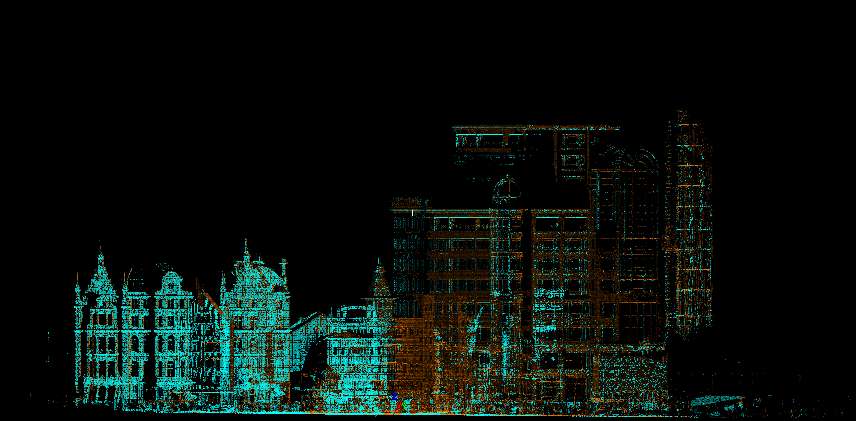
3D Laser Scanning allows for the precision capture of the built environment, we can provide you with a model of your space, accurate with millimetre precision.
From the registered dataset, we are able to convert the information to AutoCAD and Revit compatible datasets, allowing for adjustments to existing BIM & CAD datasets, or tracing which can be processed into an accurate 3D Model, complete with schedules, colourised previews and more.
Some applications of laser scanning include:
Floor flatness report based on laser scan data
Clash Detection
Floor Flatness
Elevations
Heritage and Historical scanning
Measured Building Surveys
Construction Validation & De-risking
After the scan, we can provide the data-set as a set of .RCS files (floor by floor if necessary.) decimated to required measurement, or can convert the dataset to a BIM model.
There are countless applications, get in touch today to find out more and discuss your project requirements!


